News Summary
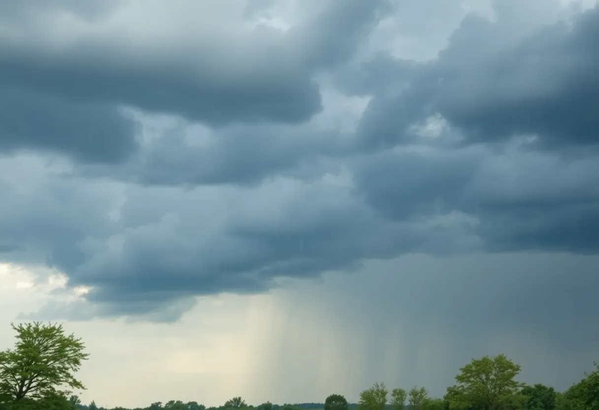
Southeast Michigan is bracing for strong thunderstorms this weekend, with heavy rain, gusty winds, and small hail expected. After the storms, clearing skies will bring cooler temperatures. Sunday’s weather will improve, with mostly sunny conditions and slightly warmer highs. Residents should prepare for the cool down into the 50s at night. Meanwhile, Tropical Storm Fernand has formed in the Atlantic, posing no immediate threat to land. Local residents are encouraged to share their weather experiences along with photos.
Southeast Michigan is set to experience strong thunderstorms this weekend, providing much-needed rain to the region. Showers and thunderstorms are expected to hit on Saturday evening, with the most intense storms delivering downpours, gusty winds, and small hail.
The storms will progress east and east-southeast at speeds between 25 to 35 mph. After the thunderstorms, residents can anticipate clearing skies overnight, with low temperatures ranging from 55 degrees in Howell and Sandusky to around 60 degrees in Detroit and Warren. Winds, not associated with thunderstorms, will shift to a westerly direction at speeds of 6 to 12 mph.
On Sunday, the weather is expected to improve significantly, featuring mostly sunny to partly cloudy skies. There may be isolated rain showers in the afternoon, but overall humidity levels are predicted to noticeably drop. High temperatures will reach around 75 degrees, making it advisable for residents to wear light jackets in the cooler morning and evening hours. Westerly winds will continue on Sunday at 5 to 10 mph.
As Sunday night approaches, the lows will feel more like fall, dipping to between 50 to 55 degrees under mostly clear conditions. This trend of cooler temperatures will carry into Monday, which will offer a mix of clouds and sun alongside potential isolated showers. Maximum temperatures on Monday are expected to peak around 70 degrees, which is approximately 10 degrees cooler than average for this time of year. A jacket may be necessary due to the cool air, along with a rain jacket for possible showers. Winds will blow from the west-northwest at 5 to 10 mph, with gusts reaching up to 20 mph.
By Monday night, conditions will clear up further with temperatures dropping to the upper-40s and lower-50s. Tuesday is projected to be mostly sunny with high temperatures around 70 degrees, presenting a great opportunity for outdoor activities. Morning temperatures on Tuesday will feel crisp, so layering may be prudent. Expected lows on Tuesday will be around 50 degrees in Livonia and Royal Oak, while areas like Ann Arbor and the Thumb may see lows in the 40s.
As the week progresses, temperatures are forecasted to gradually increase, with highs ranging from the mid- to upper-70s from Wednesday through the upcoming weekend. Residents should be aware that an isolated shower is possible on Friday as a cold front moves through Southeast Michigan.
In addition to the local weather, there is activity in the Atlantic Ocean where Tropical Storm Fernand formed on Saturday afternoon. Currently located around 400 miles south-southeast of Bermuda, the storm is moving north at approximately 15 mph with sustained winds reaching about 40 mph. For now, there are no watches or warnings for land due to Fernand’s predicted trajectory.
The storm is expected to veer northeast, remaining well east of Bermuda and staying over open water. Although Fernand has the potential to strengthen and approach hurricane status by Monday, it is likely to begin weakening on Tuesday. Bermuda might experience rough surf, but the eastern U.S. coastline is not at risk of being impacted by this storm.
Residents are encouraged to share their weather experiences by submitting storm photos to MIPics, allowing the community to capture and enjoy the views of Metro Detroit’s weather.
Deeper Dive: News & Info About This Topic
HERE Resources
Metro Detroit Prepares for Hurricane Erin Amid Temporary Calm
Detroit Schools Combat Rising Chronic Absenteeism Rates
Detroit Features Culinary Delights in Hour Detroit Magazine
Metro Detroit Braces for Hot Weather and Thunderstorms
Forgotten Harvest Awards $4.5 Million to Combat Food Insecurity
Detroit’s HiO Farm and Takoi Restaurant: A Pioneering Urban Agriculture Hub
Southeast Michigan Braces for Heat and Thunderstorms
Southeast Michigan Braces for Heat and Smoke from Wildfires
Southeast Michigan Faces Hazy Skies as Wildfire Smoke Persists
Air Quality Alert Extended in Southeast Michigan
Additional Resources
- Click on Detroit: Cool Air Rushing into Metro Detroit Behind Storms
- Wikipedia: Weather
- MLive: August Cold Snap in Southeast Michigan
- Google Search: Michigan Weather
- Click on Detroit: Metro Detroit Weather Forecast Aug 23, 2025
- Google Scholar: Michigan Weather Patterns
- MLive: Strong Thunderstorms in Washtenaw County
- Encyclopedia Britannica: Thunderstorms
- MLive: Perfect Late Summer Weather in Southeast Michigan
- Google News: Fall Weather Michigan

Author: STAFF HERE DETROITMI WRITER
DETROIT STAFF WRITER The DETROIT STAFF WRITER represents the experienced team at HEREDetroitMI.com, your go-to source for actionable local news and information in Detroit, Wayne County, and beyond. Specializing in "news you can use," we cover essential topics like product reviews for personal and business needs, local business directories, politics, real estate trends, neighborhood insights, and state news affecting the area—with deep expertise drawn from years of dedicated reporting and strong community input, including local press releases and business updates. We deliver top reporting on high-value events such as Movement Electronic Music Festival, Detroit Grand Prix, and America's Thanksgiving Parade. Our coverage extends to key organizations like the Detroit Regional Chamber and Focus HOPE, plus leading businesses in automotive and healthcare that power the local economy such as General Motors, Ford Motor Company, and Henry Ford Health. As part of the broader HERE network, including HEREGrandRapids.com, HERENorthville.com, HERENovi.com, and HEREPlymouth.com, we provide comprehensive, credible insights into Michigan's dynamic landscape.


